
Wheeling ZIP Coverage at a Glance
The strongest postal lead is 60090, tied to the Wheeling Post Office and the city/state lookup. Three nearby ZIP labels also appear in Census overlap or USPS routing context: Buffalo Grove 60089, Prospect Heights 60070, and Arlington Heights 60004. Those entries are research flags, not alternate assignments. An exact house number, street, unit, city, and state must be checked through USPS before a ZIP is attached to a person or parcel.
| ZIP Code | Areas Covered | Post Office | Notes |
|---|---|---|---|
| 60090 | Primary Wheeling postal lead | Wheeling Post Office | Verify every street and unit through USPS |
| 60089 | Buffalo Grove label in nearby overlap and routing context | Buffalo Grove postal area | Not an automatic Wheeling assignment |
| 60070 | Prospect Heights label in nearby overlap and routing context | Prospect Heights postal area | Keep postal and municipal fields apart |
| 60004 | Arlington Heights label in regional overlap context | Arlington Heights postal area | Confirm the exact address |
The table deliberately avoids claiming that a ZIP covers a named Wheeling neighborhood or sits wholly inside the village. USPS assigns delivery routes, while the Census Bureau builds ZIP Code Tabulation Areas from blocks for statistics. Neither boundary alone settles whether Cook or Lake County holds the record. The Wheeling ZIP code directory therefore treats 60090 as the main postal lead and the other three as prompts for exact-address verification.
Check Wheeling ZIP 60090 First
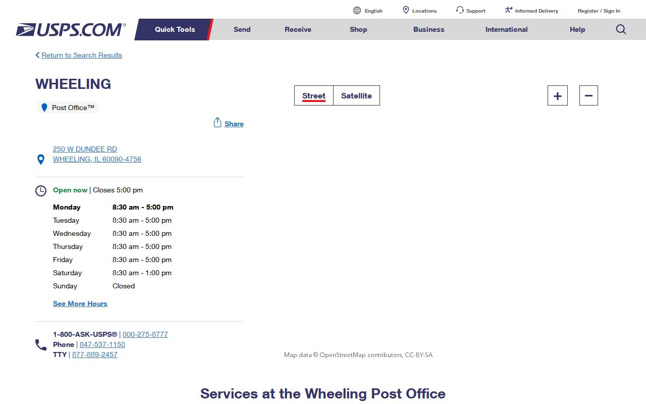
The Wheeling Post Office listing identifies the station at 250 W Dundee Road and displays 60090-4756 with current service, phone, and hour details. That office listing confirms a facility, not every delivery address. Use the separate city/state or street-address lookup to test a residence. An apartment or suite omission can change or prevent a result, so keep the unit with the street line.
The successful post-office capture below shows the official station context. It belongs beside the source link because office services and hours can change.
USPS bulletins from 2014 and 2021 also connect 60090 with regional routing entries involving 60089 and 60070. A routing or container instruction is not a resident directory. It documents how mail moves at a stated date, which is why the bulletin year should stay attached to any historical conclusion.
Verify Wheeling Addresses With USPS
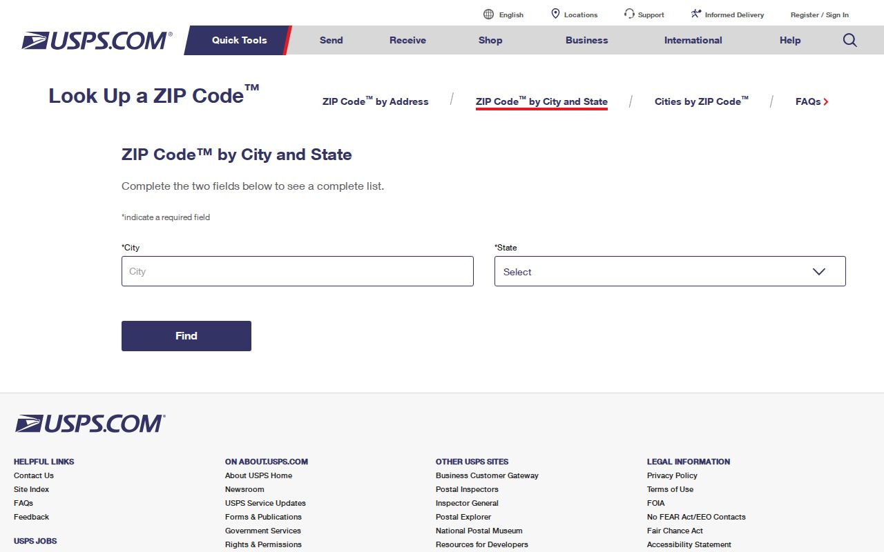
Open the USPS Wheeling ZIP lookup and begin with city and state. For a person or parcel task, continue to the street-address mode and enter the full house number, direction, street name, suffix, and unit. Save the returned postal city, five-digit code, and ZIP+4 separately from the municipality and county supplied by GIS.
| Input or result | How to record it |
|---|---|
| Street address | Use the official number, direction, name, suffix, and unit |
| City and state | Begin with Wheeling, Illinois, then retain the postal city USPS returns |
| Five-digit ZIP | Use it as a postal filter, not a county decision |
| ZIP+4 | Keep the added delivery segment with its exact address |
The official search is dynamic, so repeat it when accuracy matters. The successful research capture documents the form and result route as it appeared during the build.
Find Wheeling Residents by ZIP
ZIP-keyed searching varies by portal. Lake County's real-property common search includes a ZIP field along with parcel, owner, billing name, address, and unit controls. Cook County's main assessor address form instead asks for house number, direction, street name, suffix, unit, and city, with PIN and other tabs. The Illinois voter verification form requires a five-digit ZIP as one private input, but it does not offer an open ZIP-wide resident list.
- Confirm the full mailing address in USPS. Save the five-digit ZIP and returned postal city exactly.
- Locate the same address in the Village Community Map Viewer. Record the parcel ID, municipality, and county-side context.
- Use Lake's ZIP field when the parcel is in Lake County. For Cook, search the normalized street address or PIN instead of forcing a ZIP filter that the main form does not provide.
- Use voter verification only for a person whose required identity and address inputs are lawfully known. For county voter-file access, follow the separate eligibility and request rules.
Once the postal area has narrowed to one road, the Wheeling streets page gives the address-to-parcel workflow. A ZIP search should not be stretched into proof that a person lives inside the village line.
Wheeling ZIP Filters Differ by County
The county split is the most important local check. In Lake County's property search, ZIP can narrow the tax roll, but the result still represents a parcel, owner, or billing role rather than every occupant. In Cook County, use the Assessor address search or CookViewer with the full street or PIN. Cook's property detail also warns that property location and owner mailing address can differ.
The Village Community Map Viewer supplies the bridge. Search the address, select the parcel, and record its PIN and boundary before opening the proper county system. If Cook returns no match, test the Lake route rather than treating the absence as final. The reverse check is just as important for a Wheeling mailing address near the county line.
Note: ZIP narrows a mailing area, but the parcel map chooses the assessment, deed, court, election, and vital-record custodian.
Do Not Treat a ZCTA as ZIP
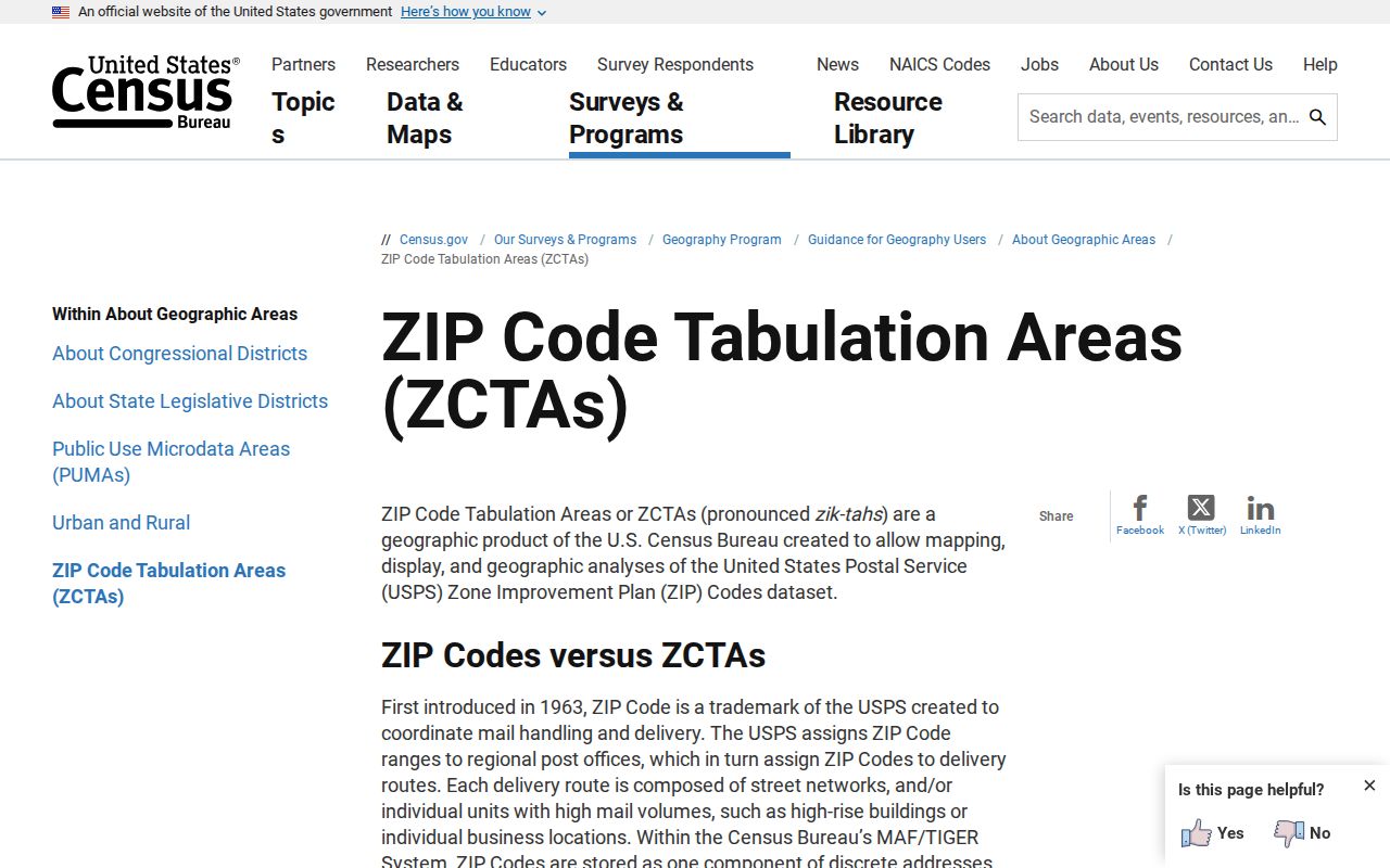
The Census Bureau's ZCTA guidance explains that ZIP Codes are USPS delivery constructs, while ZIP Code Tabulation Areas are generalized statistical areas assembled from Census blocks. A ZCTA can support population analysis, but it is not a list of delivery addresses and it should not be used to assign a resident's ZIP.
The successful Census capture preserves that distinction for Wheeling research.
Keep a date beside every ZCTA layer. Census geography changes by release, and a current parcel cannot be projected backward without checking the older map or directory source.
Trace Wheeling Roads Before Records
Postal routing and road custody answer different questions. Wheeling sources distinguish Village streets from routes maintained by Cook County Highway or the Illinois Department of Transportation. Dundee Road and Milwaukee Avenue are useful search terms, but a public-record request about work, signs, or maintenance must go to the agency responsible for that segment. A Village request sent for a county or state road record may produce no responsive file.
For old addresses, attach the map or bulletin date. CookViewer's parcel archive begins around 2000 for current parcel history and its aerial imagery reaches roughly 1998. Earlier work calls for plats, Wheeling Historical Society maps, or the 1905 Sanborn volume. Postal history can explain a printed city or ZIP difference, but it does not prove that the parcel or resident changed.
Wheeling's 2026 Address Check
The Village requested a special census after growth since 2020 and named One Wheeling Place, Uptown 500, London Crossing, and The Landings in its current material. Its address lookup and Census ID workflow shows why exact units and normalized postal data matter in 2026. The process offered online, mail, and field response routes across a stated June through September timeline.
Individual responses are protected by Title 13 and are not a public resident-name source. The special census is valuable as a dated address and population initiative, not as a substitute for parcel or directory research. Save the notice date and public project name, then return to USPS and Village GIS for an address-level question.
Wheeling ZIPs Versus Village Limits
A postal city, incorporated village, township, county, and ZCTA may all describe different layers at the same point. Wheeling is an incorporated village across Cook and Lake Counties. Wheeling Township performs assessment functions identified by the Village, while county tax and record routes follow the parcel side. USPS decides the mailing line, and Census creates a statistical area. Keep all five fields separate in a ZIP code directory entry.
- ZIP vs ZIP+4
- A ZIP is the five-digit delivery area; ZIP+4 adds a smaller delivery segment tied to a specific address or group.
- PO-box ZIP
- A code assigned mainly to post-office boxes rather than ordinary street delivery. No Wheeling code is labeled that way here without source proof.
- Unique ZIP
- A code assigned to one high-volume organization. None is claimed for Wheeling in the inspected sources.
- Carrier route
- A smaller delivery path used by USPS carriers. It is operational mail geography, not a village boundary.
A reliable Wheeling ZIP code lookup ends with two confirmations: USPS for the mailing format and an official parcel viewer for municipality and county. That keeps nearby 60089, 60070, and 60004 context from becoming a false assignment.